At the beginning of the 19th century, the liberal Canton of Aargau assumed a leading role across all school levels in Switzerland’s education system. For example, it opened the first Gymnasium (grammar school) in the country where the teachers were not members
Old Maps
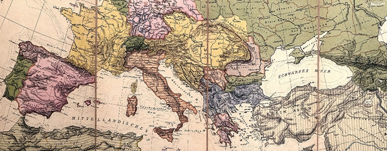
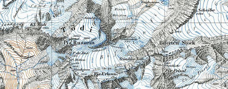
Milestones of Swiss cartography
The history of Swiss cartography begins with a chart of the country, still classed as a mediaeval “mappa mundi”, with Rigi as the centre point. It was published in 1479 in Albrecht von Bonstetten’s first geographic description of Switzerland, Superioris Germaniae confederationis descriptio.

